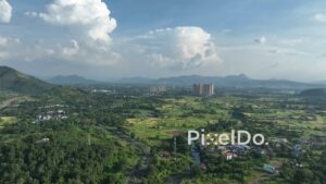
A high-angle aerial drone shot tracking forward over the Old Mumbai-Pune Highway (NH 48) as it winds through the lush green landscape of the Panvel area. The video captures light traffic, including trucks and cars, moving along the road. The highway is surrounded by dense green forests, small villages, and agricultural fields, showcasing a scenic rural transportation route.


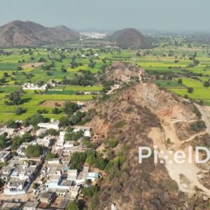 PD0781 - Aerial View of a Village Along a Rocky Ridge in Rajasthan
1 × ₹11,800.00
PD0781 - Aerial View of a Village Along a Rocky Ridge in Rajasthan
1 × ₹11,800.00  PD1125 - Aerial Drone Flight Towards Mumbai's Dense Skyscraper Skyline
1 × ₹29,500.00
PD1125 - Aerial Drone Flight Towards Mumbai's Dense Skyscraper Skyline
1 × ₹29,500.00 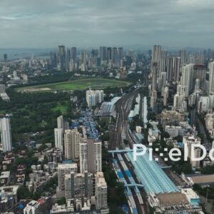 PD1119 - Aerial Drone Flight Over Mumbai Central Station and Sprawling Cityscape
1 × ₹17,700.00
PD1119 - Aerial Drone Flight Over Mumbai Central Station and Sprawling Cityscape
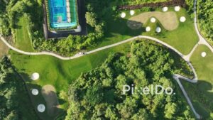
1 × ₹17,700.00  PD1008 - Aerial Flight Over Luxury Golf Course and Residential High-Rise
1 × ₹11,800.00
PD1008 - Aerial Flight Over Luxury Golf Course and Residential High-Rise
1 × ₹11,800.00 Subtotal: ₹70,800.00