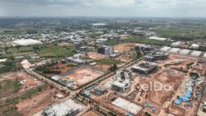
A wide aerial drone shot flying over agricultural fields towards the KIADB Aerospace SEZ (Special Economic Zone) in Bengaluru, Karnataka. The footage captures the modern industrial park, with the runways of Kempegowda International Airport clearly visible in the background. This shot perfectly illustrates the contrast between traditional farmland and high-tech industrial development, highlighting the rapid economic growth and urbanization of the region.

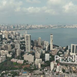 PD0035 - Aerial View of Mumbai's Iconic Malabar Hill and Marine Drive Skyline
1 × ₹23,600.00
PD0035 - Aerial View of Mumbai's Iconic Malabar Hill and Marine Drive Skyline
1 × ₹23,600.00  PD0592 - The Stark Contrast of a City: Slums Beside Modern High-Rises
1 × ₹5,900.00
PD0592 - The Stark Contrast of a City: Slums Beside Modern High-Rises
1 × ₹5,900.00 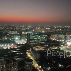 PD0571 - Night Aerial of Pune's Thriving Kharadi IT and Business District
1 × ₹17,700.00
PD0571 - Night Aerial of Pune's Thriving Kharadi IT and Business District
1 × ₹17,700.00  PD0142 - India's Modern Infrastructure: An Aerial View of the NH44 Expressway
1 × ₹23,600.00
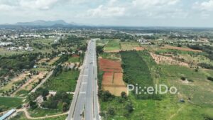
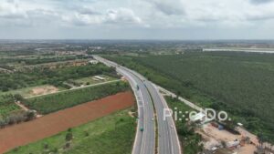
PD0142 - India's Modern Infrastructure: An Aerial View of the NH44 Expressway
1 × ₹23,600.00 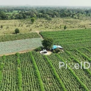 PD0620 - Cultivated Farmland with Neat Rows of Green Crops
1 × ₹11,800.00
PD0620 - Cultivated Farmland with Neat Rows of Green Crops
1 × ₹11,800.00 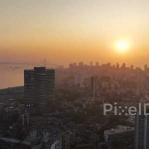 PD0479 - Golden Hour Pan Across Mumbai's Bandra Skyline
1 × ₹8,850.00
PD0479 - Golden Hour Pan Across Mumbai's Bandra Skyline
1 × ₹8,850.00 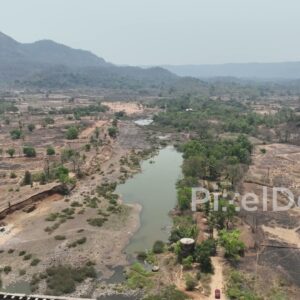 PD0337 - Aerial View of a Parched Rural Landscape and River in the Dry Season
1 × ₹5,900.00
PD0337 - Aerial View of a Parched Rural Landscape and River in the Dry Season
1 × ₹5,900.00  PD0260 - Aerial View of Mumbai's Urban Oasis: Willingdon Club and Mahalaxmi Racecourse
1 × ₹29,500.00
PD0260 - Aerial View of Mumbai's Urban Oasis: Willingdon Club and Mahalaxmi Racecourse
1 × ₹29,500.00 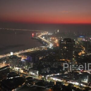 PD0482 - Mumbai City Lights: Aerial Pan of Bandra Coastline at Dusk
1 × ₹11,800.00
PD0482 - Mumbai City Lights: Aerial Pan of Bandra Coastline at Dusk
1 × ₹11,800.00 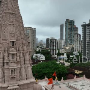 PD0339 - Aerial View of Babulnath Temple Contrasting with the Modern Mumbai Skyline
1 × ₹23,600.00
PD0339 - Aerial View of Babulnath Temple Contrasting with the Modern Mumbai Skyline
1 × ₹23,600.00 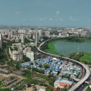 PD0430 - Aerial View of Powai Plaza, JVLR, and Hiranandani Complex, Mumbai
1 × ₹23,600.00
PD0430 - Aerial View of Powai Plaza, JVLR, and Hiranandani Complex, Mumbai
1 × ₹23,600.00 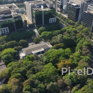 PD0547 - Green Business Park: An Eco-Friendly Office Complex
1 × ₹14,160.00
PD0547 - Green Business Park: An Eco-Friendly Office Complex
1 × ₹14,160.00  PD0208 - Residential Suburb of Chembur in Mumbai
1 × ₹11,800.00
PD0208 - Residential Suburb of Chembur in Mumbai
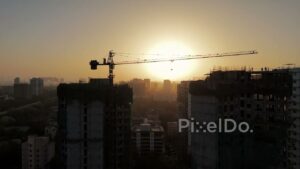
1 × ₹11,800.00 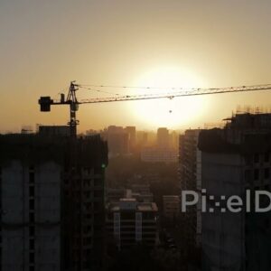 PD0132 - Aerial View of a Construction Site Crane Silhouetted Against a Hazy Sunset
1 × ₹23,600.00
PD0132 - Aerial View of a Construction Site Crane Silhouetted Against a Hazy Sunset
1 × ₹23,600.00 Subtotal: ₹235,410.00